Drone Survey & Mapping
Details:
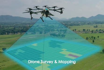
Five Eye acquires drone mapping data using a drones and aerial platforms using different techniques such as photogrammetry and LiDAR. We have a team of qualified drone pilots, engineers and data processors to create precise and high-resolution datasets. With their unique ability to cover large land areas quickly and to fly at height, along with cameras and sensors adjustable from the ground, drone mapping services can measure, transmit and reveal insights not easily obtained for analysis, as well as, for compliance documentation. Drone aerial imaging modernizes surveying for the digital era and delivers valuable results.
Our services include:
- Land & Topographical Surveying
- Verify and compare the construction site
- Inspection
- Emergency Management