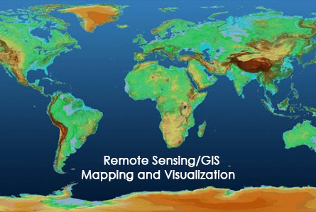
GIS/RS Mapping & Visualization
Details:
Five Eye Geotech Engineering Solutions provides various GIS/RS services which assist different sector to make plan and produce precise and visually appealing digital maps. The use of GPS or Remote Sensing, globalization of data, use of internet, web mapping services, new software applications, have contributed greatly to the use of GIS and cartography for more and more applications every day. GIS/RS mapping & visualization helps every sector to achieve better results as they are able to solve problems more quickly and efficiently.
Our Services include:
- Survey & GIS Mapping
- Remote Sensing & Image Analysis
- Data digitalization
- Interactive Web GIS mapping & Geoportal
- Digital Terrain Analysis and 3D Modelling